


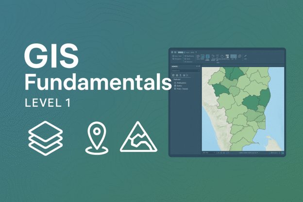
This course provides a comprehensive introduction to Geographic Information Systems (GIS), covering fundamental concepts, spatial data structures, and essential mapping techniques. Participants will learn how to use ArcGIS for geospatial visualization and analysis, gaining practical skills applicable to various industries such as environmental management, urban planning, and resource management.
Industry Demand & Statistics
📌 GIS Market Growth → The global GIS market is projected to reach $25.5 billion by 2025, with an annual growth rate of 12.4%.
📌 Demand for GIS Professionals → Over 80% of business data contains spatial components, making GIS expertise highly sought after across multiple sectors.
📌 Increase in GIS Training → Enrollment in GIS courses, such as those offered by MIT and Coursera, has grown by 30% in the past two years, reflecting the rising demand for GIS skills.
✨ This course is ideal for beginners looking to build a strong foundation in GIS before advancing to higher levels!
Website Classroom Teacher

Edi Junaidy, S.Si
Senior GIS Mapping Expert
Education: Universitas Indonesia
Course Content
Modul 1: Introduction to GIS
Course Includes
- 15 Lessons
- 1 Quiz
- Course Certificate
