


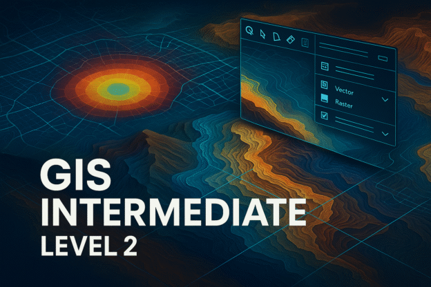
This course builds upon foundational GIS knowledge, focusing on spatial analysis, geostatistics, and advanced mapping techniques. Participants will learn how to process geospatial data, conduct multi-layer analysis, and apply GIS in decision-making using ArcGIS and QGIS. The course is designed for those seeking deeper technical expertise in GIS applications across industries such as urban planning, environmental management, and disaster mitigation.
Industry Demand & Statistics
📌 GIS Market Expansion → The GIS industry is expected to grow to $32.5 billion by 2027, with a CAGR of 13.2%.
📌 Increasing Demand for GIS Analysts → Job postings for GIS professionals have risen by 18% annually, reflecting the growing need for spatial data expertise.
📌 Advanced GIS Training Enrollment → Universities offering GIS Level 2 courses report a 25% increase in enrollment, highlighting the demand for intermediate GIS skills.
✨ This course is ideal for professionals looking to enhance their GIS capabilities and apply advanced spatial techniques in real-world scenarios!
Website Classroom Teacher

Edi Junaidy, S.Si
Senior GIS Mapping Expert
Education: Universitas Indonesia
Course Content
Modul 1: Pemahaman Data Geospasial
Course Includes
- 21 Lessons
- 1 Quiz
- Course Certificate
